Environmental Snapshot for 2300 W Saint Paul Ave (PIN 14313180141067)
Table of Contents
| Water | ||
| Solar | sun panel | |
| Air quality | ||
| Flood guidance | basement report | |
| Trees | green view index MIT | |
| Chicago-only data | ||
| Land use |
Environmental & Land Use Snapshot accompanies the Property Report for 2300 W Saint Paul Ave
Suggested ways to use this snapshot
Use the information on this page, as well as the links to fire insurance maps, to collect some of the information that is necessary to write an Environmental Database Report (EDR).
External resources
- Review the site-specific data on the Illinois EPA's Document Explorer to locate IEPA records of environmental reviews or remediation at or near a property.
- Find fire insurance maps using Fire Insurance Maps Online (FIMO) (requires a Chicago Public Library card)
Water
Regional water sources
The Chicago Metropolitan Agency for Planning (CMAP) has published a water demand forecast for the seven-county region, which analyzes:
- water sources for each municipality
- demand forecast for each county
- how to maintain a sustainable supply
Water quality in Chicago and Blue Island
Access H2NOW waterway monitoring , provided by Current, to see river water quality monitoring analysis in real time on the Chicago and Calumet Rivers.
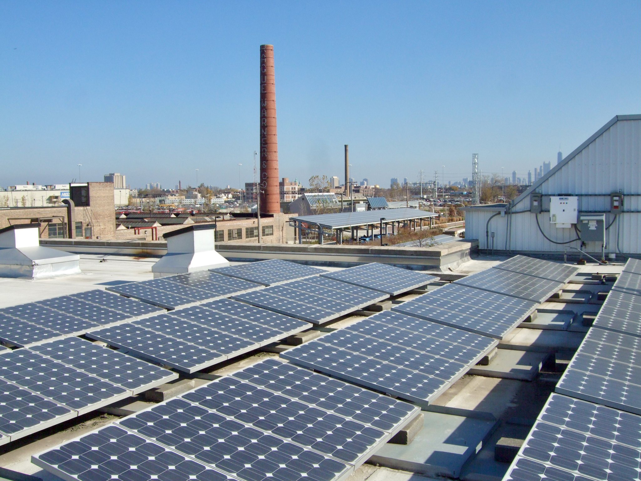
There may be assistance to install solar panels in the area around 2300 W Saint Paul Ave for private or community use. We've checked for two incentive factors for Illinois Solar for All.
Explore a solar map
Elevate* created a "solar map" of Chicago that estimates each building's solar energy potential.
View the solar map for this location
* Elevate is a Chicago-based organization that administers many financial incentives programs promoting energy efficiency locally and for the State of Illinois.
Zoning + solar panels
Solar arrays mounted to buildings are allowed in all zoning districts; freestanding solar is allowed in all but residential zoning districts (refer to the City's zoning guide for solar). Use Site Selector to find zoning districts eligible for freestanding solar.
Financial incentives
Climate Cabinet Education has a Federal Funding Bonus Eligibility Map to help you determine if an area is eligible for Inflation Reduction Act incentives.
Why we show this solar info
Illinois Solar for All (ISFA) is a state-funded program administered by Elevate to increase the amount of solar panel systems in the state, and especially in low-income areas and environmental justice areas.
The Illinois legislature adopted the Future Energy Jobs Act (FEJA) in 2016 to spur the development of new solar panel systems for personal and community use by buying Renewal Energy Credits from the system owners at a higher rate and upfront rather than after several years. Eligible projects must be installed by approved vendors and have a job training and workforce development program.
Even if you're not proposing a project, you may be able to subscribe to a project in your area to support solar energy development and potentially lower your electricity bill. Your home will not actually be powered by solar energy, but you'll get credit for subscribing to a community solar project.
Further reading about ISFA
Air quality external resources
Chicago Cityscape does not integrate air quality data, but there are multiple sources to review.
- Urban Air, an experiment in Chicago from Microsoft Research that placed ~86 air quality monitors at CTA bus stops (ended in 2023)
- AirNow, administered by the United States Environmental Protection Agency which has its own sensors and incorporates PurpleAir data
- AirNow Fire and Smoke Map, shows wildfire smoke plumes and air quality impacts from fires – includes the new Clarity sensors installed in Chicago in 2026
- PurpleAir, a company that sells a fixed, home-based air quality monitor that uploads data to a public map
- plume labs, a company that sells a portable air quality monitor that uploads data to a public map
Suggest an air quality monitor location Since February 2025, Neighbors For Environmental Justice has started collecting suggestions for where 220 air quality monitors should be placed in Chicago.
Sign in to your Cityscape Permit Tracker or Cityscape Real Estate Pro, or purchase this Property Report, account to view our flood guidance for 2300 W Saint Paul Ave, Chicago, IL.
Trees
Green View Index
Measuring street tree canopy around 2300 W Saint Paul Ave, Chicago, IL
Green View Index (GVI) statistics
for the area around 2300 W Saint Paul Ave, Chicago, IL
Average: out of 100
Median: out of 100
Higher numbers and darker green are better
The citywide average is 22.88 out of 100. While higher scores refer to generally shadier blocks, the highest score of 100 isn't desirable because it would mean that the street view image taken at a particular point on a block was completely covered by trees or vegetation, and that the camera saw nothing else (like buildings). Most scores in Chicago are between 25 and 37.
Look to the Chicago Region Trees Initiative for more data and resources, including Why are trees important? and an interactive map of tree coverage across Chicago community areas and other municipalities.
Source: Data comes from Google Street View imagery using a method devised by the Treepedia project at MIT's Senseable City Lab, and collected by Mike Bingaman and Chicago Cityscape.
Additional tree coverage resources
Tree Equity Score
View the Tree Equity Score for this location
Chicago Regional Trees Initiative
Chicago-only data
Environmental inspections
Showing environmental inspection reports found at or near 2300 W Saint Paul Ave, Chicago, IL
Data integrity issue On June 16, 2025, Chicago Cityscape became aware through this article that these environmental inspections reports were updated to remove data (specifically the inspector narratives that provide rich information), and that some of them were updated to have invalid dates.
Storage tanks
Known underground and aboveground storage tanks found at or near 2300 W Saint Paul Ave, Chicago, IL
Storage tanks found nearby
Sign in to your account to view them, or you can instantly create a free account
Energy benchmarking data
Energy usage data for the 2023 reporting year (and earlier) for buildings found at or near 2300 W Saint Paul Ave, Chicago, IL
Energy benchmarking data found nearby
Sign in to your account to view them, or you can instantly create a free account
Land use for 2013, 2015, 2018, and 2020
Every five years, the Chicago Metropolitan Agency for Planning (CMAP), the Chicago region's state and federally-designated Metropolitan Planning Organization (MPO), creates a detailed land use inventory of the seven-county area.