New in Q2: proactive upzoning maps for Chicago home builders
Published on Aug. 4, 2025 by Steven Vance
Updated on Aug. 7, 2025
Plus, building permits across all of Cook County
Chicago Cityscape was busy in Q2, too. I continued having hourlong coffee conversations with members. (Schedule your chat using the booking link in My Account & Profile.)
The big changes implemented in the second quarter of 2025 include showing members where the future “proactive upzonings” are occurring. These are blocks where the city is encouraging more housing supply by allowing more housing as of right. The other big change was adding building permits for the rest of Cook County, which has been one of the most requested features for several years.
Proactive upzoning
In anticipation of a very large upzoning to allow more housing on the Broadway corridor in Uptown and Edgewater, we’ve added a “Proactive upzoning” filter to Property Finder.
- Open Property Finder for the whole city
- Locate the “Proactive upzoning” filter in the section called “3. Chicago-only filters”
- Select the “On a proactively-upzoned block” option
- Select the “Apply filters” button and the map and data table will refresh to show only those properties that were recently upzoned


This filter shows interested home builders which properties will soon have a new zoning district that will allow a lot more housing on those properties than their current zoning designations. Our analysis, reported by Streetsblog Chicago in January, indicated that the number of new homes allowed in the corridor would increase by 10,000.
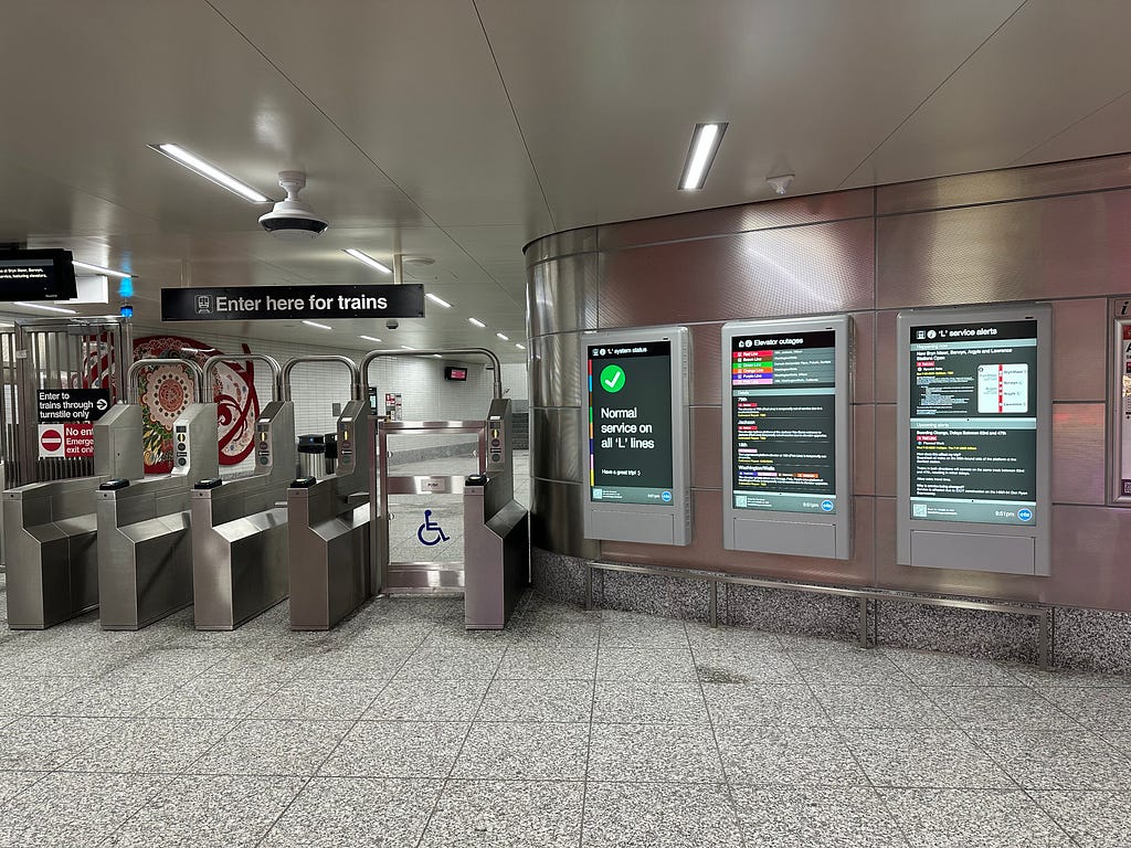
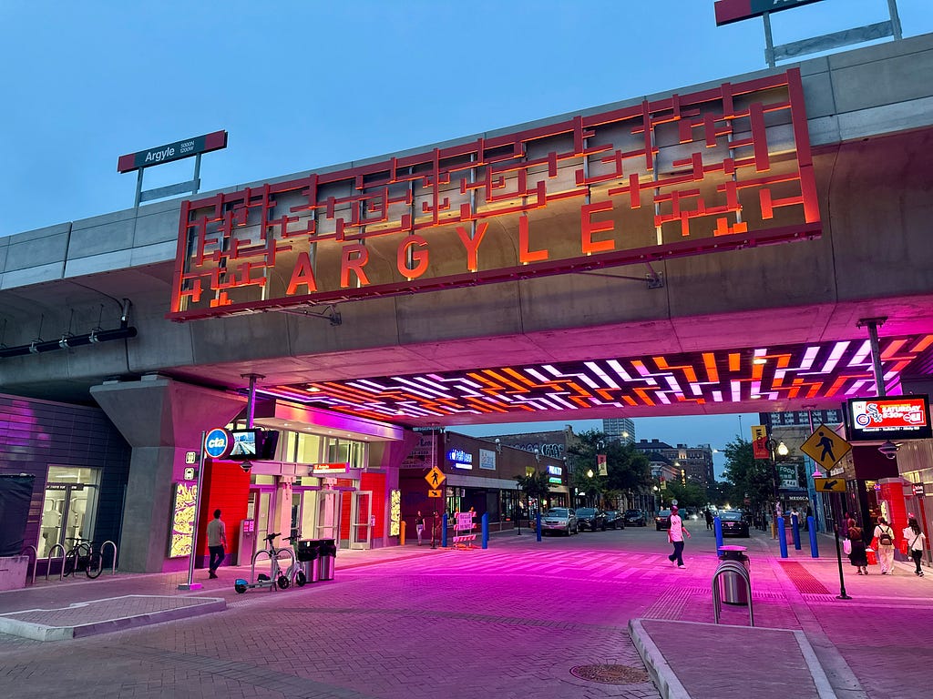
This land use update will coincide with the opening of four “Red Purple Modernization” stations, a $2.1 billion investment in making transit more accessible and safe. (The replacement stations were Lawrence, Argyle, Berwyn, and Bryn Mawr.)
The upzoning initiative was proposed in fall 2024 by Alderpersons of the 46th, 47th, and 48th Wards, with assistance from the city’s planning department. It was approved by Chicago Plan Commission earlier this year and should be approved by City Council in September or October, after the property owner notices have all been sent out.


More zoning-related platform updates
- Updated the Chicago zoning map to reflect edits made through June 20, 2025. We try to update the map monthly, even though few changes are made monthly and those changes almost always reflect property owners’ requests.
- New: the 2003 zoning map was added. This is our oldest Chicago zoning map and the only one that predates the current 2004-based zoning code. It shows up in Zoning Map Explorer, and in a Property Report’s Zoning Assessment Appendix (which shows the zoning district in every vintage of the zoning map in our database).
- Zoning Map Explorer now has permalinks, meaning you can share a particular year’s zoning map with someone else.
Building permits
Suburban Cook County building permits were added! This is a major new dataset from the Cook County Assessor’s Office.
Two new filters were added for Chicago building permits:
- Filter based on the application start date. This is necessary to know sometimes because different laws (demolition fees, ARO, proactive upzoning, and more) apply to a project based on when the building permit application is filed.
- A “Reinstatement” filter type was added to find permits that were previously issued, expired, but have been reissued.
Other updates
- New construction housing permits analytics data, for Chicago, is updated through July 31, 2025
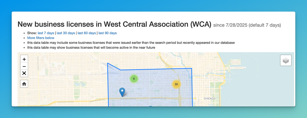
- Businesses Snapshot now allows quick filters to show new licenses issued in the last 7 days (default), 30, 60, or 90 days. This tool is used by our members who operate the city’s Special Service Areas.
- When using the historic resources filter in Property Finder to find properties that are landmarked or are in landmark districts, the name and historic resource type will also be exported in the .csv (spreadsheet) data. Learn more about this filter.
- Over 100 zoning change applications that had been passed by Chicago City Council but were not marked as passed were fixed to add the passage date.
- Updated Fair Market Rent for 2025. This shows landlords what rents the local public housing authority will pay on behalf of someone who pays their rent with a Housing Choice Voucher.
- Updated PUMA boundaries from the 2020 Census. “Public Use Microdata Areas” combine multiple Chicago community areas into one “super neighborhood” that can be used to analyze demographic data with a higher sample size.
New and updated help articles
- Commercial valuations data. Added: filter for properties using the commercial property type assigned by the Cook County Assessor’s Office.
- Chicago owned property. Added information about the last ChiBlockBuilder round and Missing Middle Infill Housing initiative.
- Low Affordability Communities. Updated the list of passed and pending LAC designations.
- Proactive upzoning. The list of areas that are getting the proactive upzone treatment was updated. Additionally, properties in Chicago can now be filtered to show only those that are on a block that has or will be proactively upzoned by the local alderperson.
- Two & three flats. Updated to better connect to other articles (like the Northwest Side Preservation Ordinance) and relevant municipal codes.
- Exporting to AutoCAD. Updated to improve the three tutorials and change which third-party website can help convert the file Chicago Cityscape provides to a file that CAD software can read.
- Unused zoning capacity. Link this article to the one that explains the ground floor conversion relief option.
New in Q2: proactive upzoning maps for Chicago home builders was originally published in Chicago Cityscape’s Blog on Medium, where people are continuing the conversation by highlighting and responding to this story.
Tags
Click a tag to find more posts.
- quarterly_update (14)
Other posts by Steven Vance full archive
March 2026
February 2026
January 2026
December 2025
November 2025
September 2025
August 2025
- New in Q2: proactive upzoning maps for Chicago home builders
📄 you're reading this one