A group of Cook County agencies released a cool new map last month to show areas of the county when they were annexed into a municipality. The map is based on historical (often paper) records.
We’ve incorporated this map into our Places database, and in all Address Snapshot reports.
Want to know when your home or office was incorporated into the City of Chicago, or the part of Bartlett that’s in Cook County? Enter the address in this search bar.
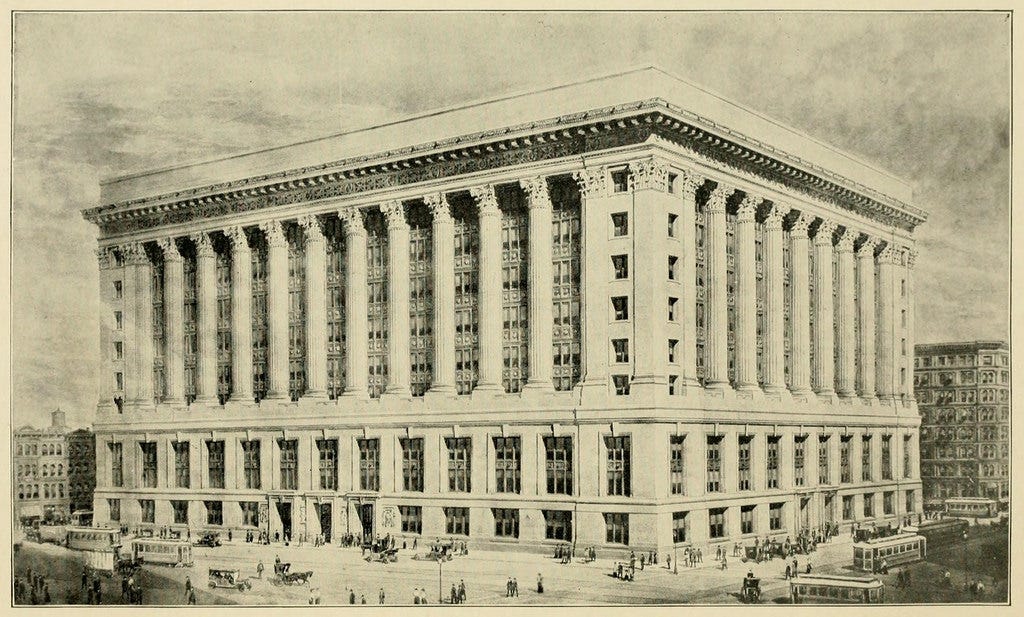
Chicago’s City Hall, located at 121 N LaSalle St, is in a plat that was transferred from Unincorporated Cook County to “Chicago” (which didn’t incorporate as a town until August 12, 1833) on August 4, 1830.

It probably won’t be too useful but you can see current business licenses and building permits in that area, as you can in any of our Place pages.
Wanna learn more about this treasure trove of records? Cook County produced a story map to walk you through the timeline of annexations.