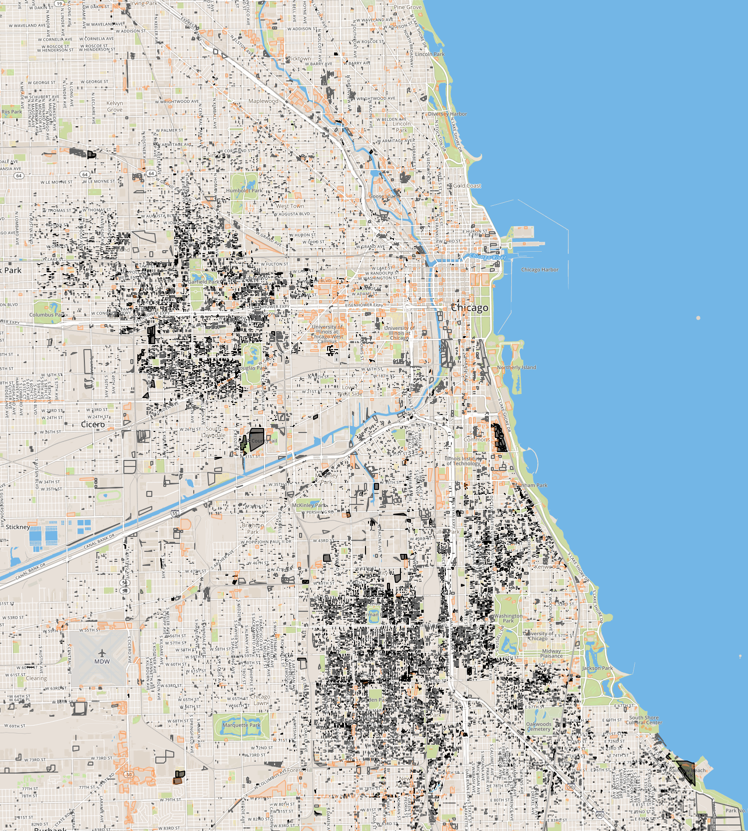
Chicago Cityscape’s Property Finder map was recently upgraded with new data and better styling. The map’s intention has always been straightforward: use open data to show all the land that is sitting there, across the city, but definitely concentrated in a few areas, waiting to be developed.
There are more than 11,000 parcels owned by the city that you can purchase through one of three processes (only the Large Lots one is really accessible to residents). There’s over 25,000 parcels marked “1–00 Vacant Land” in the Cook County property tax database we have.
And there are over 4,600 parking lots, both surface and garage. Since the parking lots dataset comes from OpenStreetMap, where many individuals have drawn them in by hand, there are hundreds that have yet to be added.
The map has other caveats: A city official acknowledged to me that the city-owned land dataset has erroneous info: it may include too much, and it may not include all of their land. Also, not all city-owned land is vacant.
The vacant land dataset, which comes from the Cook County Tax Assessor, is imperfect, too. It marks the space between buildings as vacant when they’re really not (used for driveways, garages, yards).
What land are you looking for and can Chicago Cityscape help you find it?