In our massive database of Places — view them all on Maps Explorer — we’ve focused on including Place types that are relevant to real estate and business development and history and research. We’ve added Illinois State Police (ISP) districts to the Chicago Cityscape maps because they suddenly became relevant to business development of…cannabis dispensaries.
Sometime within the past two weeks the Illinois Department of Financial and Professional Regulation (IDFPR) posted FAQs about recreational cannabis dispensaries, the first of which could be operational and selling pot to the 21+ over public on January 1, 2020.
One of the FAQs gives guidance to medical dispensary operators about where they can open a second location, for recreational weed.
Outside of a nine-county area around Chicago, where an operator can open a second location is dependent on the Illinois State Police district containing the current medical cannabis location.

Illinois State Police district 1 includes Carroll, Lee, Ogle, and Whiteside counties. Medical dispensary operators in this district can open a second site in those four counties, as well as in Bureau, Jo Daviess, La Salle, Putnam, and Stephenson counties. Four of the additional five counties border ISP district 1, and the fifth, Putnam, borders Bureau county.

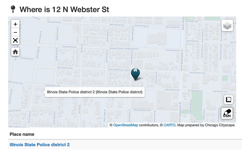
So now, when you look up an Illinois address on Chicago Cityscape’s Address Snapshot, the report will say which ISP district it’s in.