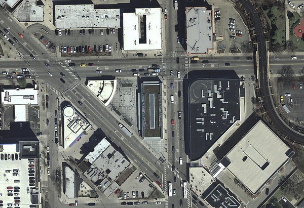
Last night at a meetup, staffers from the Cook County Bureau of Technology demonstrated some of the maps and datasets they have in Cook Central. Their database includes 10 snapshots of aerial imagery from 1998 to 2016. The photos are taken from planes, not satellites, so the quality is better.
There’s no time like the present to add historical aerial photography of Cook County to Chicago Cityscape.
Look up any address in Cook County and click the “Show imagery” button below the map to see what used to be at and around the property you’re interested in purchasing or developing.
If you can’t see the “Show imagery” button, or the imagery doesn’t appear after you click it, I recommend clearing your cache or press Shift + reload.
The latest photography, from 2016, will appear. You can switch to 1998, 2003, 2009, and 2013 in the layer switcher on the map.

The recent and historical imagery is very sharp, and clearer than our current aerial/satellite image provider and clearer than Google Earth. The earliest year that Google Earth has is 1999, and it’s muddy compared to Cook County’s 1998 imagery.


The historical aerial imagery is currently available on Address Snapshot, our most used feature, and will be added to other maps very soon.