Recently we told you about the difference between Chicago neighborhoods and community areas. Community areas are “official”, in that they are used by local governments to measure services and demographics, and were drawn to align with census tracts to be able to get data about the spaces within.
I’m reading “Claiming Neighborhood” by two University of Illinois at Chicago urban planning professors (Janet Smith and John Betancur), which Lynda Lopez reviewed for the Cityscape blog in January.
The authors call community areas unique in the United States.
Their critiques of the community area map, specifically, fit within their overall arguments about past ways of measuring people, the extraction value of space or land in a neighborhood, and changes within “neighborhoods”. (They also discuss how the boundaries are designed, derived, and manipulated.)
They’re also going to propose a new way to analyze neighborhood changes, but I’ve barely gotten through page 33 when I came across a modern critique of the Chicago community area.
Studying any type of change requires something that is held constant over time. In the case of neighborhood change, we see why the Chicago School [here this means a group of researchers at the University of Chicago who drew the community areas] and others held constant the boundaries of the space (i.e. the neighborhood) to observe the change of social and physical characteristics within. Of course there are dangers and tremendous limitations with any analysis that relies infixing geography in order to trace changes in variables over time. The first is the potential to fetishize the geography as some kind of absolute subject that can be measured and classified based on who comes and goes and who stays. Studying neighborhood change in this way also tends to focus on the “transients,” attributing change to the residents entering or leaving rather than the forces acting to push and pull people around in urban space, which as we have noted, includes the mechanisms of creative destruction that manipulate spatial factors to produce profit.
Another potential limitation of holding constant boundaries is that the trends observed are merely the result of making time the variable without accounting for how the production of the space itself has changed. This includes representations of space that rebrand or alter the image of a neighborhood, such as a how investors and developers talk up a neighborhood to promote gentrification or city officials classify neighborhoods for purposes of deploying police into areas targeted for gang activities.
Quick break: I was looking for the right photo to illustrate this post, but I couldn’t find a picture of anything that says Armour Square on it. Armour Square is one of the 77 community areas, but you may know the areas it contains better as Chinatown (not a community area) and Bridgeport (yes, a community area).
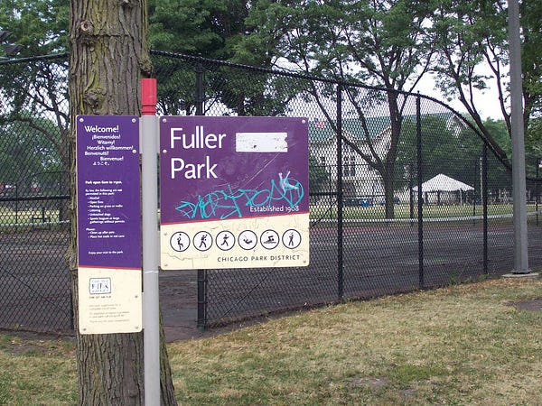

Instead I found signs for Chinatown and Fuller Park, a park which is synonymous with another community area adjacent to Armour Square.
Back to the long quote…
Taking these various concerns about boundaries and classification into consideration, we propose an alternative view for interpreting neighborhood change: treat the bounded area identified as a symbolic, social produced space with contents that are in constant flow and whose circulation produces and extracts value via investment and disinvestment and that clusters populations for different purposes. In Lefebvre’s typology of space, symbolic or representational space is usually passively experienced; it’s a real space but its cultural meaning is derived through the imagination, which transform symbols and images into a meaningful place. From this point of view, a census tract, which is an arbitrary vessel to contain data, becomes a neighborhood through its repeated use as a representation of space to study neighborhood change, something that has been done for a hundred years.
The same can be said of Chicago’s seventy-seven community areas, which since their origin in 1930 have been fetishized and transformed into real places through repeated use to show change or the lack of it over time. The corresponding representations including maps and classifications not only reinforce them as actual bounded sites, but have become the default ways in which we look at reality and the baseline for our judgement and understand of it. By holding space constant, such analyses can easily reduce it to a neutral container rather than make explicit the production of neighborhood through forces such as creative destruction, racism, and segregation.
In my comparison of the Community Area and Neighborhood maps, I suggested that a Community Area map should be preferred if there is one from each layer of the same name, or if you’re unsure. Community areas are larger and more broadly used. They have a better documented provenance.
The book is due to the Chicago Public Library today, and I’ve already renewed it once, so I won’t finish the book for a while. If you want to discuss it, leave a comment below, or talk to Lynda on Twitter.