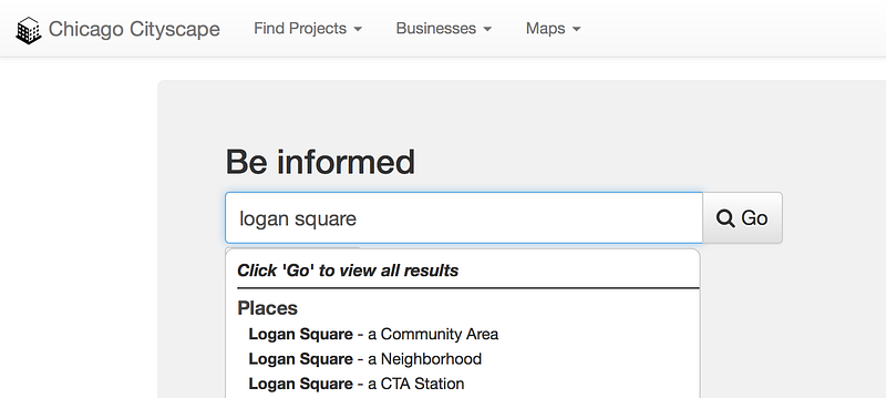
When you’re searching for a neighborhood name, like “Logan Square” or “Englewood”, you’ll sometimes find two of them: One is labeled a community area and the other a neighborhood. Other times you’ll see only one or the other.
Try searching for Bronzeville and you’ll get only a single result, a neighborhood. Some people have asked us who drew that boundary and whether it’s official.
Bronzeville is a particularly interesting case because there are different maps that show it covering differing blocks.
Community areas are official. Their names and boundaries do not change, and organizations, including the City of Chicago and DePaul Institute for Housing Studies, use their boundaries for analysis 📊 and reporting. For example, the IHS provides all of its housing, property transactions, and foreclosures data aggregated to the 77 community areas.
And there is no Bronzeville community area.

Neighborhood maps come from an interesting survey
The City of Chicago drew all 228 of our neighborhood maps. How did the city know or decide where to draw the lines between neighborhoods?
They asked the residents, in 1978. A map that the city produced in 2006 describes the method:
The names and boundaries of neighbrohoods on this map were based upon a field survey conducted by the Department of Planning, in 1978. The survey asked "What is the name of this neighborhood?" and "What are the boun- daries?" Within each of Chicago's neighborhoods, approximately ten residents were selected at random for interviewing. These are unofficial neighborhood names and boundaries.
It’s not an official map, even though the map says it was adopted by City Council in 1993. It doesn’t cover the entire city, and it has been changed since then. Community areas cover 100 percent of Chicago.
Our neighborhoods map was downloaded from the city’s website in 2012, since removed, and has an area called Bronzeville, but the 2006/1993 map calls that (very small) area “South Side”. 🤷🏻♀️
The city’s website now publishes a different neighborhoods map developed by the city’s tourism office. This map doesn’t have a Bronzeville, and is more like a modified community areas map than a neighborhoods map. It shows “Bronzeville” as a secondary neighborhood under the community areas of Douglas and Oakland.
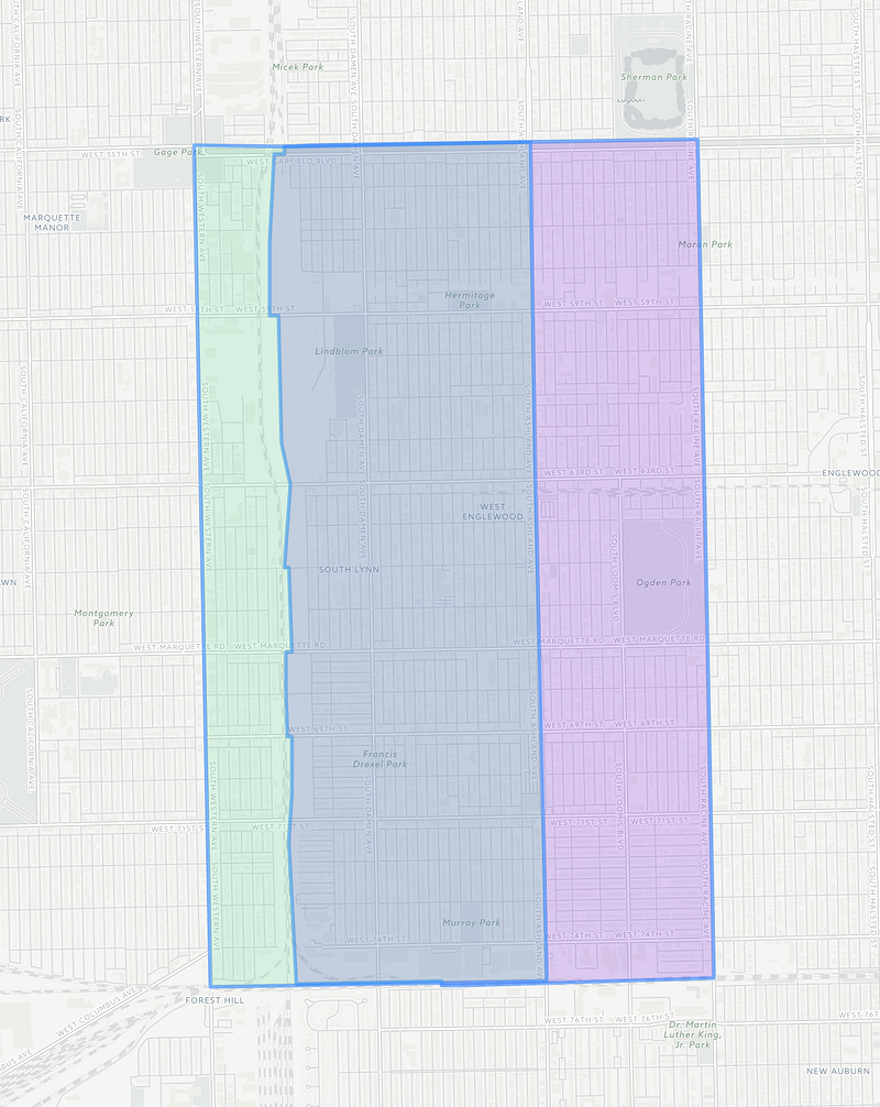
Going back to my examples of neighborhoods having the same names as official community areas, know that they often don’t have the same boundary or shape!
👈🏽 Look at the map of West Englewood. The neighborhood map is smaller than the community area map, and about half its size.